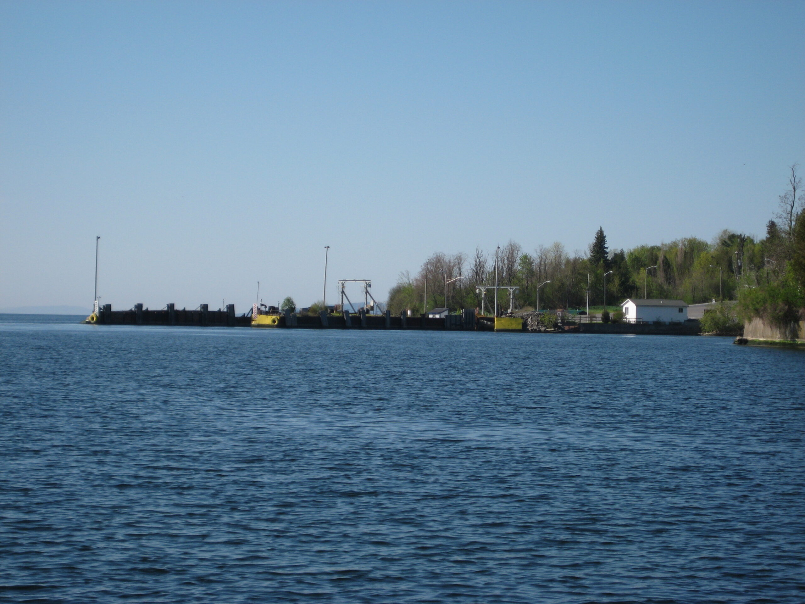
New York Power Authority – Lake Champlain
Lake Champlain Cable Crossing PV-20

C.T. Male Associates provided bathymetric surveying and mapping for the entire width of the floor of Lake Champlain along a submarine electric transmission line in New York and Vermont.
The existing electric lines needed to be located to prepare an easement and also to map the topography of the lines as they traversed the lake bottom. The lake was 200 feet deep at its deepest point and more than a mile across. The project was further complicated by the cross-border ferry route that was over the submarine cables. Close coordination was necessary with the ferry boat captains to ensure safe passage for all vessels.
C.T. Male Associates used a combination of RTK GPS methods and subcontracted hydrographic equipment to perform the survey and prepare the mapping. Alignment sheets were prepared showing lake bottom topography and electric lines. Easement maps were later prepared for the New York side in NYS OGS format and provided to OGS in the application for the easement.
