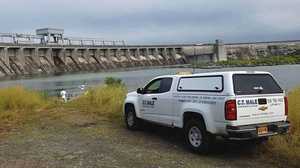
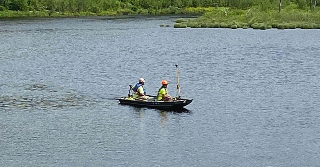
Hydrographic Surveys
What’s Under the Water?
Hydrographic surveys produce bathymetric maps, whose topographic information shows the shape and depth of the bottom terrain, for navigation, dredging, engineering, and environmental studies. C.T. Male Associates performs hydrographic surveys using a variety of methods – such as echo sounders, sonar, laser, and GPS – depending on the specific project requirements. We can help you obtain the necessary data and documentation to meet project requirements, as well as provide guidance on how to interpret and use the data to support your project goals.
FEMA Elevation Certificates show the elevation of a property and structures in relation to the base flood elevation. ECs are used by insurance companies to determine flood insurance rates and by FEMA to determine if a property is eligible for certain types of disaster assistance.
ECs are required for properties in Special Flood Hazard Areas (SFHAs) that are newly constructed, substantially improved, or undergoing significant renovation. The certificate is used to show compliance with local floodplain ordinances, to determine proper insurance premiums, and to support a request for a Letter of Map Revision based on Fill (LOMR-F).