NYPA Crescent Dam Laser Scan
Colonie, New York
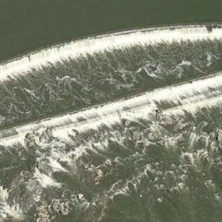
C.T. Male Associates was retained by New York Power Authority (NYPA) to survey and map some areas of spalling on part of the Crescent Dam structure, on the Mohawk River, in the Town of Colonie, New York. The dam, constructed in 1912, is located upstream of the confluence of the Mohawk and Hudson Rivers. The dam impounds waters for hydroelectric power, drinking water and navigation purposes.
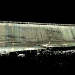
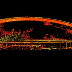
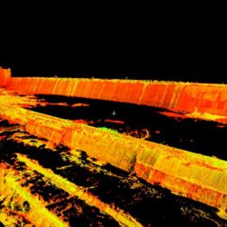
C.T. Male Associates performed a High Definition Laser Scan Survey using its Leica HDS 3600 High Definition Laser Scanner to obtain the high level of detail needed to develop a method for repair of the dam. The laser scanner produces a group of millions of highly accurate points, called a point cloud, used to create a 3-D model.
The point cloud consisted of over 16 million points and was registered over a seamless panoramic digital photo allowing engineers to visualize and quantify the cracks and spalling in the Dam. Mapping was performed in Leica’s Cloudworx and a 3-D model of the dam was created. Isometric views were mapped as well as 142 cross sections, a Digital Terrain Model (DTM) and Topographic Contour Map across the face of the dam. Some of the areas of spalling and cracks were big enough to fit a person inside of them.
As a result of C.T. Male Associates’ dedication to the project, the final product was detailed and comprehensive and exceeded the expectations of the client.
SERVICES
- High Definition Laser Scan Survey
- Create 3D Model
- Map Isometric Views & 142 Cross Sections
- Create Topographic Contour Map


