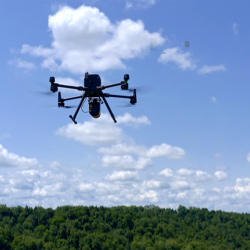
UAV Drone Surveying & Mapping Services with LiDAR

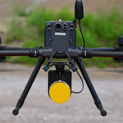
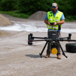
Drones or unmanned aerial vehicles (UAVs) give us more ways to collect highly accurate data for surveying and mapping projects, providing clients with the data they need to inform critical decisions.
Drone surveying systems can assist with a wide range of surveys including:
- Accident scene documentation/reconstruction
- Agricultural crop monitoring and inspection
- Canal surveys
- Environmental, industrial & utility surveys
- Ice/open water monitoring
- Pollution monitoring
- Quarries & mining operations – volume computations
- Route surveys
- Surveying and mapping in dangerous environments, e.g., hazardous waste sites
- Topographic mapping & photogrammetry
- Wildlife monitoring
LiDAR (Light Detection and Range) or 3D laser scanning generates millions of data points which can be registered to create a single three-dimensional point cloud that can be used for fly-though modeling, Building Information Modeling (BIM), and CAD drawings of almost any type of project.
Aerial LiDAR mobilizes high-definition 3D laser scanning or LiDAR via a drone or UAV to streamline data collection and provide greater versatility of services, creating exceptional value for clients:
- Data can be captured through heavy vegetation and tree canopies
- Fewer ground control points (GCPs) required for large flight areas
- Generate large amounts of highly accurate data in a single flight
- Increased accessibility to hard-to-reach areas
- Increased safety
- Less disruption to surrounding traffic and other activities
- Save time in the field and in the processing of the dataset

